Days 99-102 Hamilton to Waitomo
- Jenny

- Jan 25, 2022
- 7 min read
Day 99 ~ Walked: 15 km ~ Start: Hamilton ~ End: Whatawhata (km 791)
A short walk today so we had a nice little sleep in and breakfast in town before heading off out of Hamilton city.

We followed a cycle rail trail out towards and then through Dinsdale. Once we hit the countryside we were soon into the Taitua Arboretum which was a nice respite from the heat.

We couldn’t believe how popular it was with families out for walks. There were dozens of cars in the car park.

Then just a bit of cross country farm walking with a few hills and lots of stiles.

Then a few km on the road and we reached our destination in time for a late lunch at the cafe.
We stayed at the Backyard gastro pub.

More amazing support for ta walkers. We had a choice of cabin or camping on the lawn. Of course we chose the cabin which was a steal at $10. This included use of staff shower out the back of the pub. We were having our dinner and out of curiosity I asked the waitress where we would have been able to put our tent up. Just the lawn there she said pointing to the lawn amongst the tables!

Day 100 ~ Walked: 32 km ~ Start: Whatawhata ~ End: Mt Pirongia (km 823)
A massive day for our 100th day on trail. Huge km and a 959m mountain summited. 10.5 hours worth. Go us!!
We had 10km of road walking to start that we would have liked to have hitched. But being 7am on a Sunday morning on a quiet country road we didn’t have any luck until the final few km. Very grateful for that though.
We then were up and down mini mountains on a high country sheep farm which was relatively easy walking if it wasn’t for the hills.


A little bush track at the end of this had camomile on the paths so I picked some for a cup of tea.

Then the paddock just afterwards was covered with the camomile and marjoram as well. Smelt heavenly walking across it.

I’m embarrassed to say I didn’t know where Mt Pirongia was until half way through today even though that was our destination for the night. All my life I’ve thought Mt Pirongia was the cone shaped hill on the other side of Pirongia as we’ve driven that road dozens if not hundreds of times when travelling to Auckland from home. It was the cone I kept looking out for as our destination and wondered when it was going to come into view as we got closer and closer to the mountain range that in fact contained Mt Pirongia. It wasn’t just me, Gerard had always thought the same too.

The final 11km was the ascent of Mt Pirongia. It wasn’t to bad as the gradient was comfortable most of the way. Just a few steep bits towards the end.

The 360deg views from the summit were impressive but to hazy for good photos. We most enjoyed seeing raglan harbour.


On the way up we saw a wild pig with about 8 cute little black piglets and two goats, one with two kids.

The whole day was very reminiscent of our first day in the Richmonds from Pelorus Bridge to Rocks hut. From the long road walk to begin where we managed to trim it by a few km by hitching, to the pleasant but slightly challenging middle section including riverside walks with swimming holes, to the final steep ascent to the hut. Although I think the elevation to Rocks was similar but over half the distance, ie twice as steep, and I made sure not to get dehydrated this time. And I must be a bit fitter now. I wasn’t completely wiped out, and was able to enjoy watching the sunset.

Day 101 ~ Walked: 17 km ~ Start: Mt Pirongia ~ End: Kaimango Rd (km 840)
We enjoyed the return to hut life if just for the one night. There were four others in the 20 bed hut, unlike the previous night (a Saturday) where it was completely full and people were camping as well.
A nice surprise taking our track away from the hut. It was completely boardwalked and stepped all the way to the next peak of Hihikiwi. The last thing we expected at the top of a mountain.


It ended at that peak though

and was a pretty steep scramble and climb down a long way. Then, even though Alesha had warned us, it was a rude shock to find we then had to start climbing up again. We were expecting to come down off this mountain this morning, but no, there were several more 900m peaks we had to get up over first.
There had been light drizzle all morning but we were unaffected under the tree cover. It was still falling as we came out of the forest so we geared up for getting wet for the remaining 12km of road walking to our camp for the night. This is only our 6th day of walking in the rain to date, and the farmers certainly need it so we can’t complain. Only 2km of the road walk was on busy roads so that wasn’t to bad either.

At one stage on the country roads we overtook the local farmer who was driving his digger along. He got a bit of a fright to see us come up along side but was more than happy to stop for a chat.
We’re camping at Casey and Jon’s place tonight (on a camomile lawn!) More amazing trail angels providing much needed services.

She even made an anti scurvy salad for us to go with our dinner.

The warm shower was most welcome after the hut night without one and being a bit cold from the rain.
Day 102 ~ Walked: 28 km, hitched 4km ~ Start: Kaimango Rd ~ End: Waitomo (km 872)
We woke to heavy rain falling on the tent and a reluctance about todays section. A very long 32km through uninspiring, un-notable and perhaps a little challenging terrain according to others reports of it. And on top of that, rain forecast over most of the day. If we had a suitable alternative out of it I think we may just have jumped at it.
At 6-30 when our alarm was due to go off the rain had eased somewhat so we did spring out of bed so that we could at least pack up the tent without heavy rain. It had completely stopped by the time we finally set off, but was extremely foggy.

I actually quite enjoyed the scenery and terrain today because it was changing frequently. From high country rolling hills of sheep farms, to native bush, Manuka plantations, pine forests, rivers, mud, herb fields (the now extremely common camomile as well as lemon balm), farm tracks, historic cuttings through the cliffs.


We were at a fairly high elevation most of the day so had outlooks often. Especially once the fog and clouds lifted.

The overnight rain had soaked everything and made most surfaces quite slippery, particularly the grasses, leaves, tree roots and clay tracks. Along with the steepness in parts, we both had a few slides. We were able to land gracefully each time with no injuries.

The tracks were all very well marked apart from a little section where we got lost. We’d been trotting along quite swiftly when the track seemed to come to a sudden stop. We headed off in a few different directions where there were trampled ponga fronds but they were all dead ends too. It seemed like others before us perhaps had the same issues, and had done the trampling. With our to-ing and fro-ing we then were completely lost and couldn’t even find the track we’d come off. This is the first time I’ve felt this lost and disoriented. There was a brief panic moment but then we just tried to move in a direction that got our blue dot back onto the track as marked on the map. This required quite a bit of bush bashing through lots of supplejack but we finally found the path. I was so disoriented I initially headed off in the wrong direction on the path. It shook my confidence a bit so luckily the track was well marked elsewhere. On the relive video you’ll see our little going around in circles at the 18 second mark.
We finally came out from the tracks, forests and farms after 28km and 8 hours of walking and not having seen a single soul or vehicle. Just a few goats. There was a final 4km road walk into waitomo so we decided if there happened to be any vehicles we’d try and hitch.

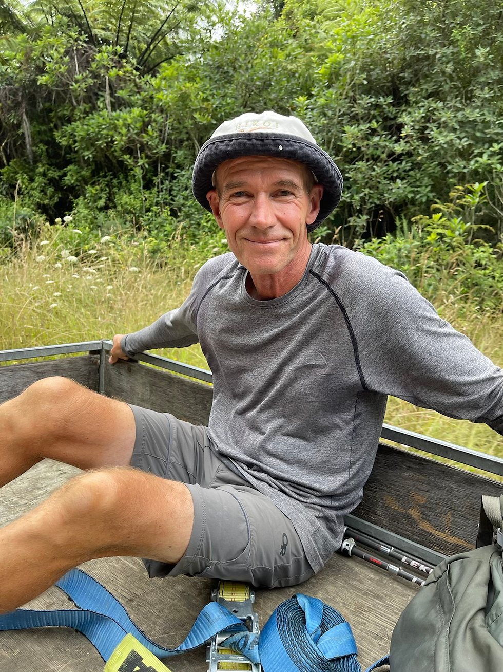
Amazingly enough a few minutes in a nice young girl stopped for us and let us ride on the back of her ute. It was a mainly gravel quiet country road so she would have likely been the only vehicle. And she drove nice and slow for us.

Staying at the top 10 camp in a very nice unit, we got to catch up on our washing and also had the most delicious meal at Huhu restaurant next door.
I actually really enjoyed today in the end and the rain even held off all day.
Day 99 ~ Walked: 15 km ~ Start: Hamilton ~ End: Whatawhata (km 791)

Day 100 ~ Walked: 32 km ~ Start: Whatawhata ~ End: Mt Pirongia (km 823)

Day 101 ~ Walked: 17 km ~ Start: Mt Pirongia ~ End: Kaimango Rd (km 840)

Forgot to record relive video. Was gutted as would have loved to have seen the extra peaks we climbed in 3D
Day 102 ~ Walked: 28 km, hitched 4km ~ Start: Kaimango Rd ~ End: Waitomo (km 872)


Wow, some rugged looking terrain, those hills looked fairly brutal. Loved the Scurvy salad. Good to learn where Mt Pirongia is !! Cool "Dinosaur Egg" photo. Yes I saw the squiggles where you were looking for the track, at bit worrying for a few minutes, but all was well and you didn't have the call the chopper.
Also, the first photo with Gerard in that square, was that in Hamilton? Where are all the people?
Omg just realised I havnt been watching the relive videos. Are these on every blog? I thought they were just maps or something so stopped reading after the end of the blog.